EDF Chemical Map
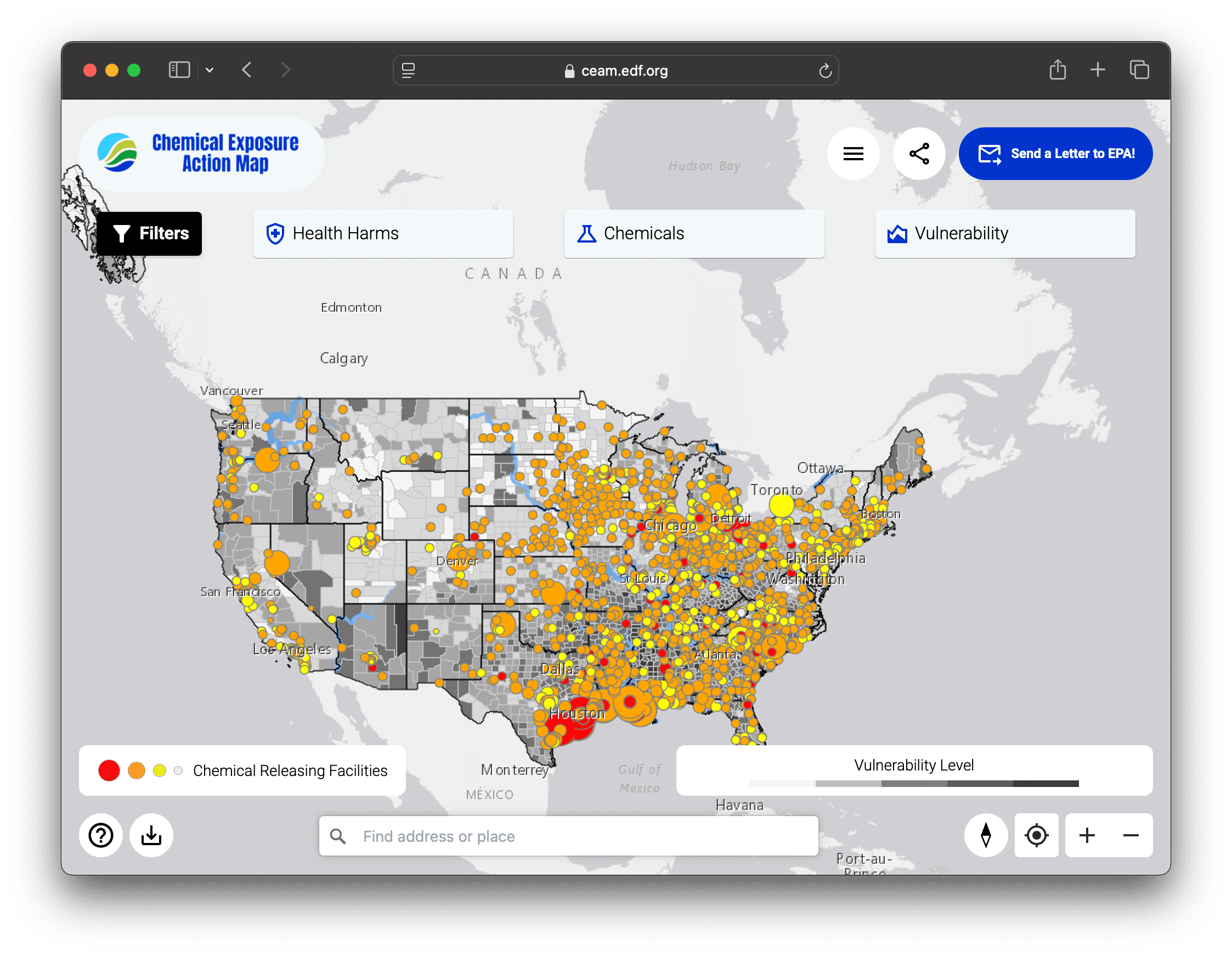
An interactive map of chemical facilities and their environmental impact, built with the Environmental Defense Fund.
About
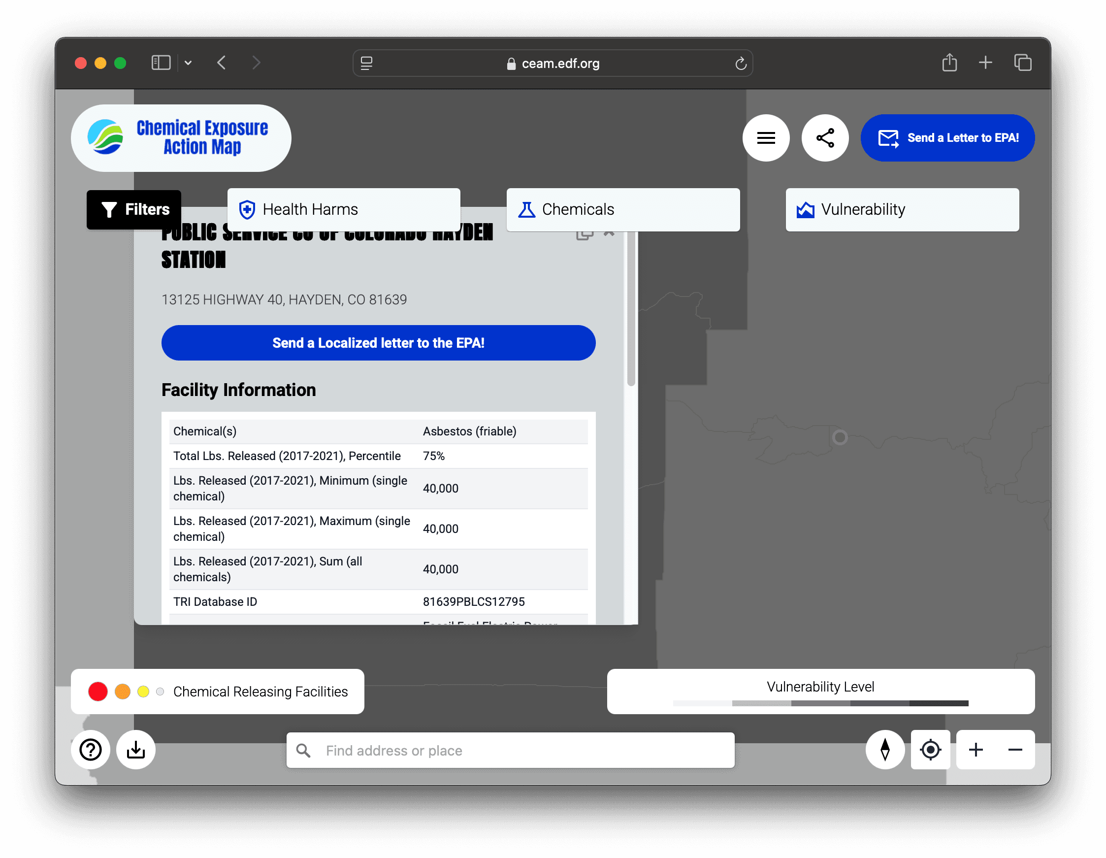
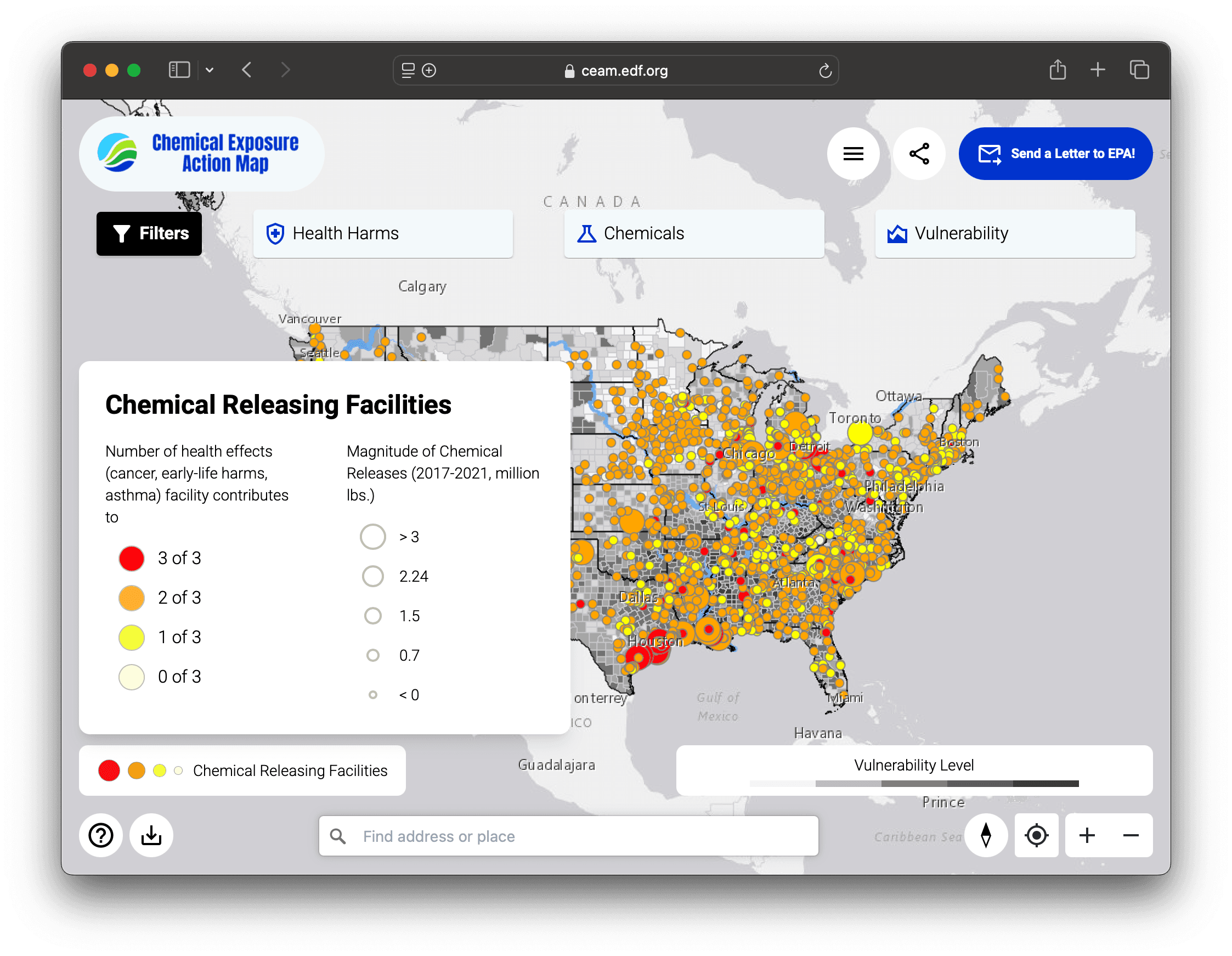
The Chemical Exposure Assessment Map (CEAM) helps communities, researchers, and policymakers understand chemical exposure risks from industrial facilities. It pulls together data from multiple federal environmental databases into a single map: chemical releases, facility compliance history, and potential health impacts on surrounding communities.
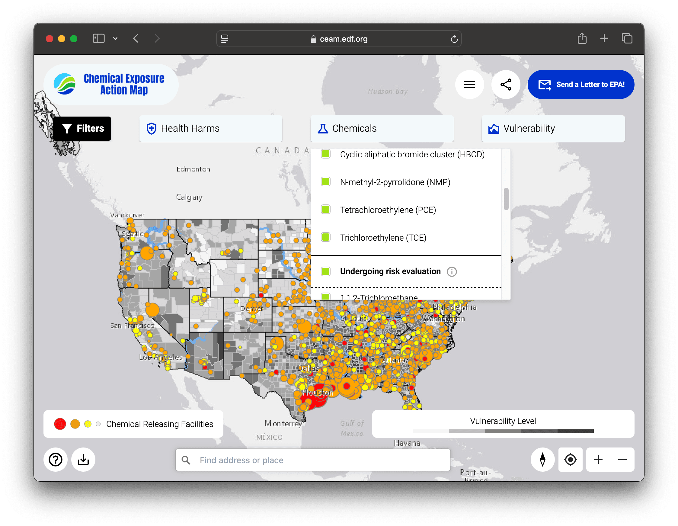
Built with React, TypeScript, and the ArcGIS API for the map visualization, with filtering, facility detail views, and data export for researchers.
Screenshots